About Me
I’m a conservation professional, photographer, and gardener. My work has included geospatial analysis and remote sensing, conservation technical assistance, education, and science communication. I’ve used drones and LiDAR to identify “hot spots” of stream bank erosion in the Chesapeake Bay Watershed and built a school garden in the highlands of Madagascar. I’m particularly interested in conservation in agricultural contexts, and have written on topics ranging from artisanal brick production in Madagascar to landscape-scale agroforestry adoption in the United States. From photography to mapmaking to writing and gardening, I aim to make sense of the complexity of the natural world and our place within it. As I learn and grow, this website will serve as a repository of reflections, snapshots, and ideas.
Education
-
M.E.M., Ecosystem Management and Conservation
Yale School of the Environment, 2023
-
B.A., Geoscience
Franklin & Marshall College, 2016
Work
-
USDA Forest Service National Agroforestry Center
Agroforestry Technical Assistance and Science Delivery Fellow · Oct 2023–Present
Researched agroforestry practice adoption nationally, published GIS maps and a peer-reviewed article, and developed technical assistance resources for land managers and natural resource professionals.
-
Water Science Institute
Geoscience and GIS Specialist · Nov 2019–Sept 2021
Led fieldwork and geospatial analysis on NRCS and PA DEP grant projects, using repeat LiDAR data and UAV photogrammetry to map watersheds, identify stream bank erosion hot spots, and monitor restoration outcomes.
-
NASA DEVELOP National Program
Participant · Jan–Apr 2021
Mapped the urban heat island effect in Cincinnati, OH with a team at Boston University, identifying opportunities for city-specific climate resilience planning.
-
Peace Corps Madagascar
Agriculture Food Security Advisor · Feb 2017–May 2019
Worked with a rural Malagasy community on food security and sustainable agriculture, and built and ran a school garden program for 180 students.
Web Applications
-
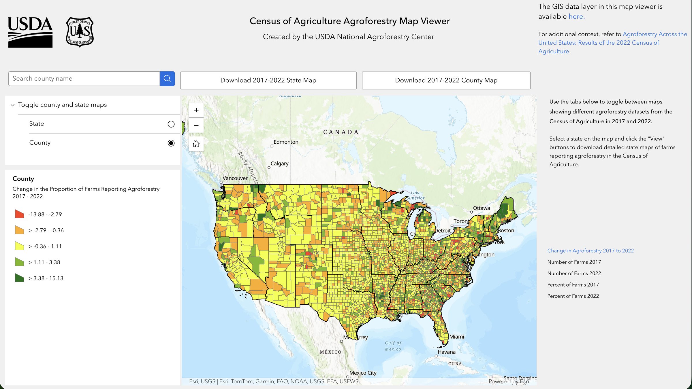
Census of Agriculture Agroforestry Map Viewer
USDA National Agroforestry Center. An interactive GIS web application I built to visualize agroforestry practice adoption trends across the United States.
-
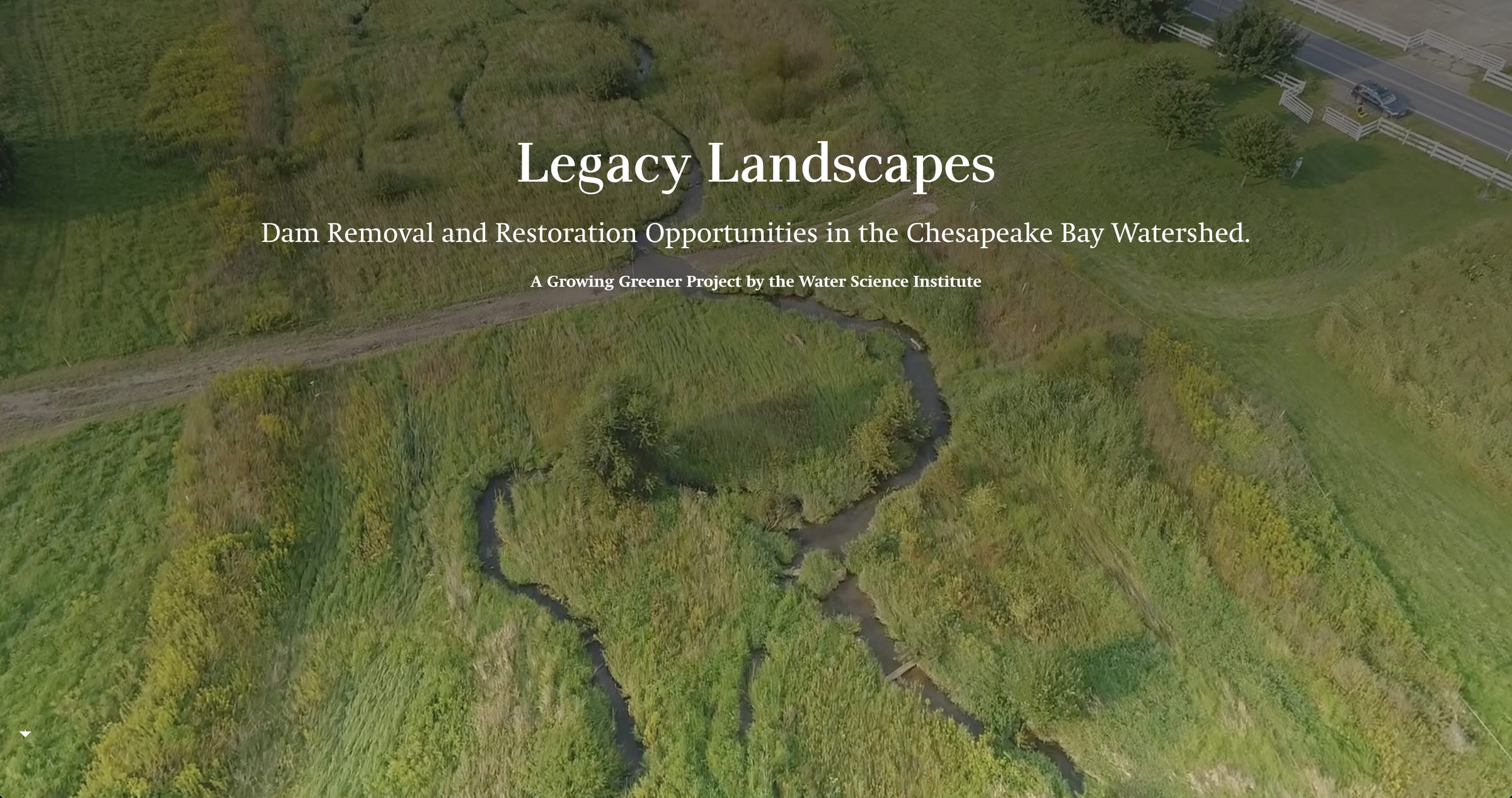
Legacy Landscapes: Dam Removal and Restoration Opportunities in the Chesapeake Bay Watershed
A story map I made for the Water Science Institute as part of a PA DEP Growing Greener project.
Selected Publications
-
(2025)
Agroforestry across the United States: Results of the 2022 Census of Agriculture
Agroforestry Systems, 99(2), Article 34. DOI: 10.1007/s10457-024-01096-2
-
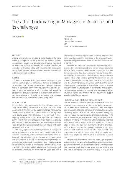
The art of brickmaking in Madagascar: A lifeline and its challenges
Madagascar Conservation & Development, 19(1), 16–19.
-
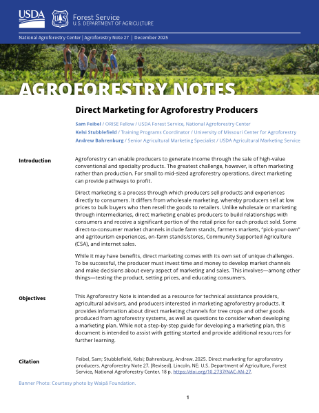
(2025)
Direct Marketing for Agroforestry Producers
Agroforestry Note 27. U.S. Department of Agriculture, Forest Service, National Agroforestry Center. DOI: 10.2737/NAC-AN-27
-
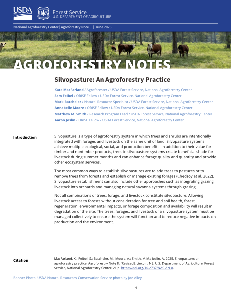
(2025)
Silvopasture: an agroforestry practice
Agroforestry Note 8 (Revised). U.S. Department of Agriculture, Forest Service, National Agroforestry Center. DOI: 10.2737/NAC-AN-8
-
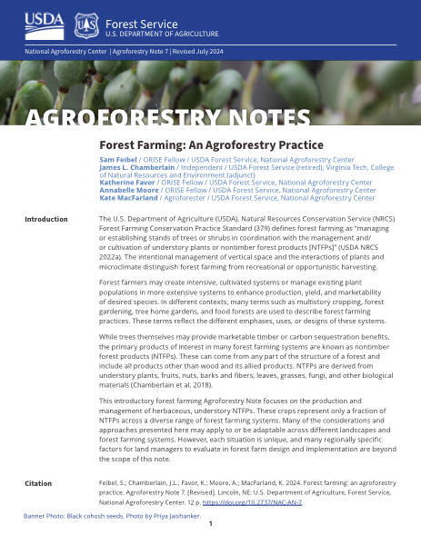
(2024)
Forest farming: an agroforestry practice
Agroforestry Note 7 (Revised). U.S. Department of Agriculture, Forest Service, National Agroforestry Center. DOI: 10.2737/NAC-AN-7
-
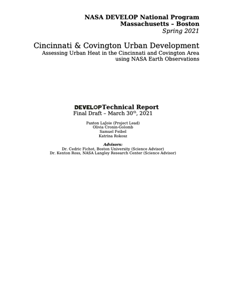
(2021)
NASA DEVELOP National Program Technical Report, Massachusetts – Boston. NASA NTRS ID: 20210014263.
-